South Gare, Teeside
South Gare: Shifting Sands
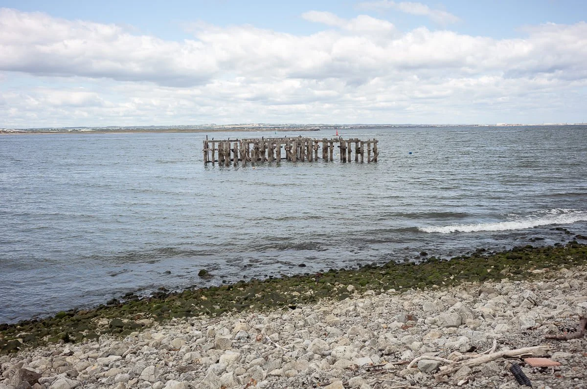
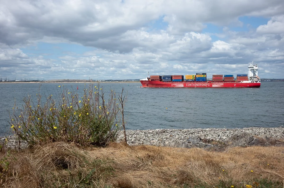
Growing up around Teeside, South Gare was somewhere that we used to visit a lot. Back then, it was home to the blast furnaces of the steel works. From the road out to South Gare, at the right time of the day, you could sometimes see them pouring the molten steel - it never ceased to amaze me as a kid. Beyond the steelworks, as you continued to the end of the road, there was the lighthouse, where you could stand and watch the huge container ships coming into the River Tees. It was always blowing a gale there & just visiting it this time brought back a lot of memories of Sundays on the Gare watching the ships.
As part of my Shifting Sands project, I revisited the Gare at the start of July. The River Tees marks the county boundary between North yorkshire & County Durham & the most northern point of the Yorkshire coastline. It serves as the perfect counterpoint to Spurn Point, on the Humber, as the southernmost boundary.
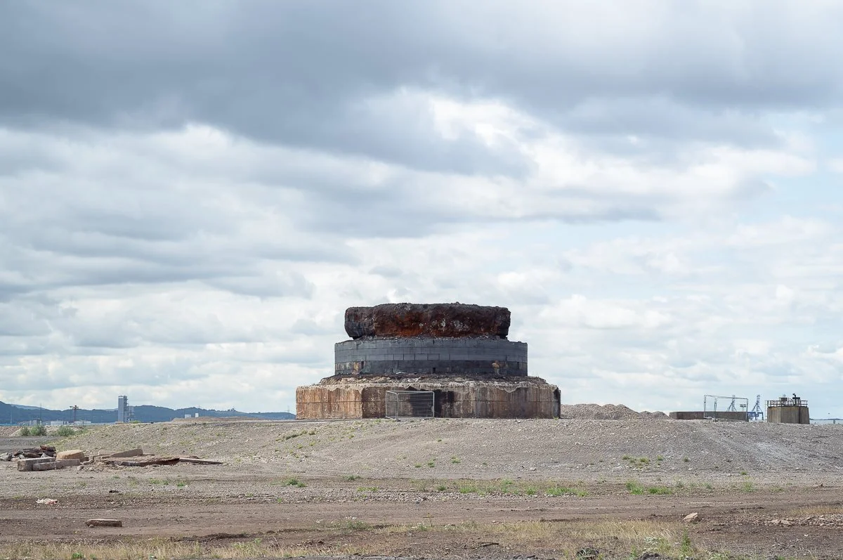
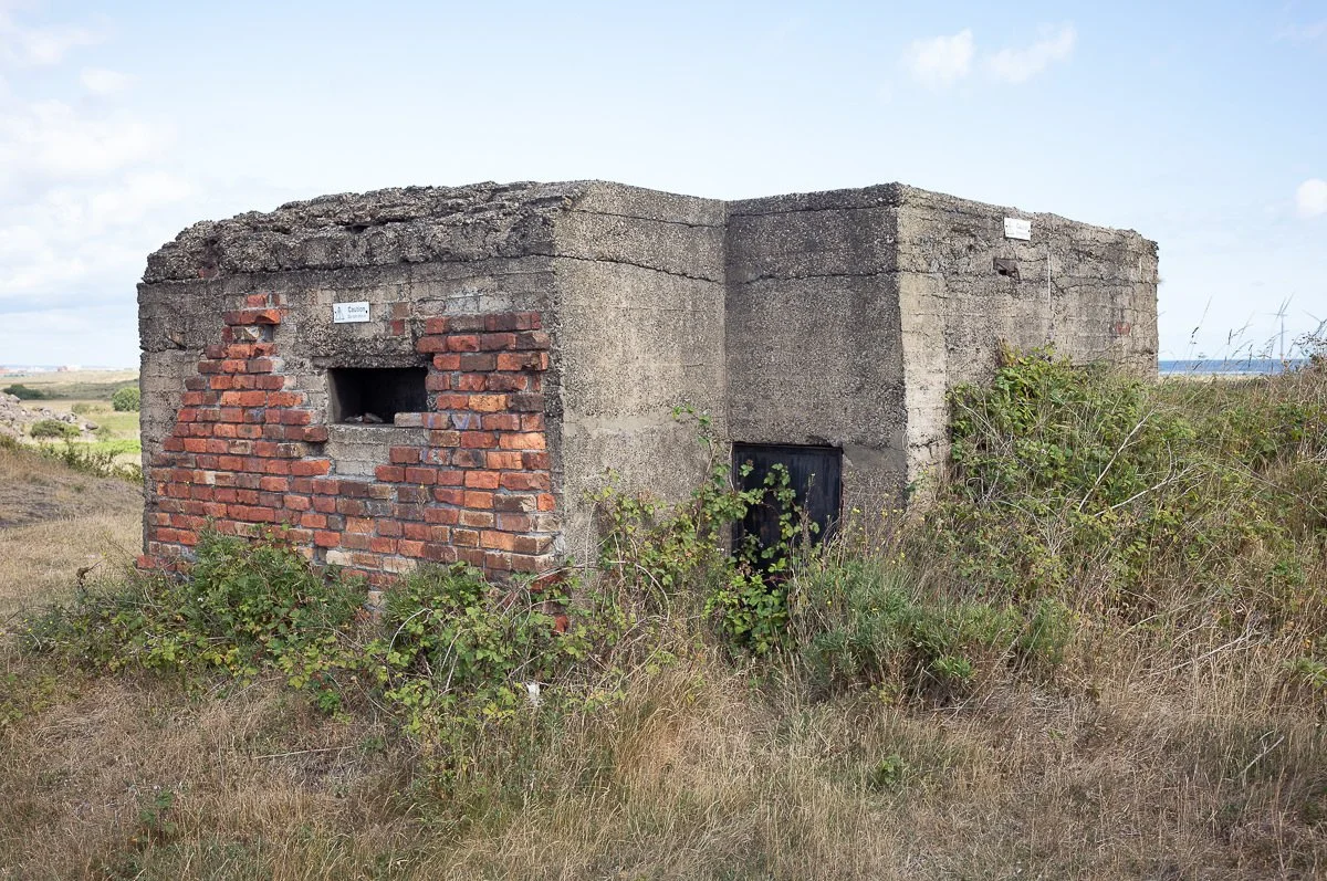
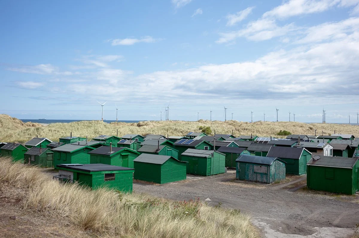
Most notably, the steel works has almost completely disappeared, leaving a large barren wasteland. Only the base of the blast furnace and scattered piles of rubble still exist to show that anything was ever there. Also, the very end of the Gare is closed off now, so you can’t get down to the lighthouse. A new addition to the area though, much to the disapproval of Donald trump no doubt, is a large windfarm. There’s a whole area, just off the coast, providing clean, renewable electricity. I know that a lot of people don’t like them and there’s some good reasons for that, but on balance, I think that it’s progress in the right direction.