
Shifting Sands (Working Title)
A current & ongoing project to explore the Yorkshire coastline, documenting the changes that both human settlements and the physical border between land and sea are going through.
The once booming Victorian seaside towns now have to adapt to a different kind of tourist & the social changes brought about by the loss of both Iron & Steel industries as well as the fishing industries have had a marked impact on the region.
Nature too is playing it’s part in the reshaping of the Yorkshire Coast. Geographically, the coastline is being rapidly eroded. Nowhere is this more evident than in the East Riding, between the mouth of the Humber & Flamborough Head where communities are being abandoned or are going through a period of upheaval as roads and swathes of land crumble away onto the beach under the relentless battering of the North Sea.
Specifically, I want to explore, through photography, the constantly changing face of the coastline & the indelible mark the past has left upon this rugged and beautiful landscape, as well as exploring the resilience and adaptability of the people to find new ways to exist here.
It’s a landscape that is constantly evolving , with new housing & tourism developments appearing almost as quickly as the older, industrial developments are disappearing.
As this project is ongoing, it will grow as more work is produced. Please subscribe to my blog to be notified when more work is added.
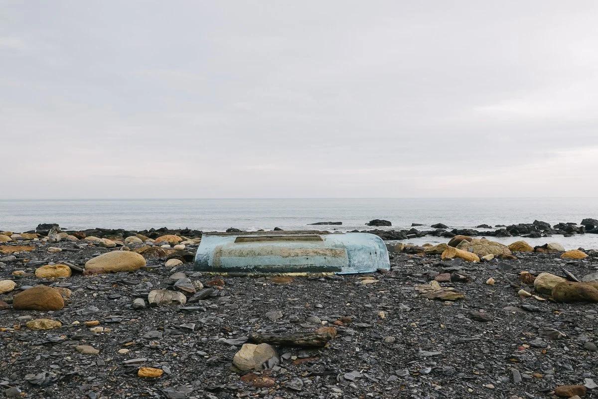
Port Mulgrave started it’s life in the mid 19th century as an Ironstone mine. The Ironstone was then shipped up to Jarrow on Tyneside to be used for shipbuilding. The harbour is still there, albeit badly damaged, as is the entrance to the mine, which is about 10m above the harbour, in the cliffside.
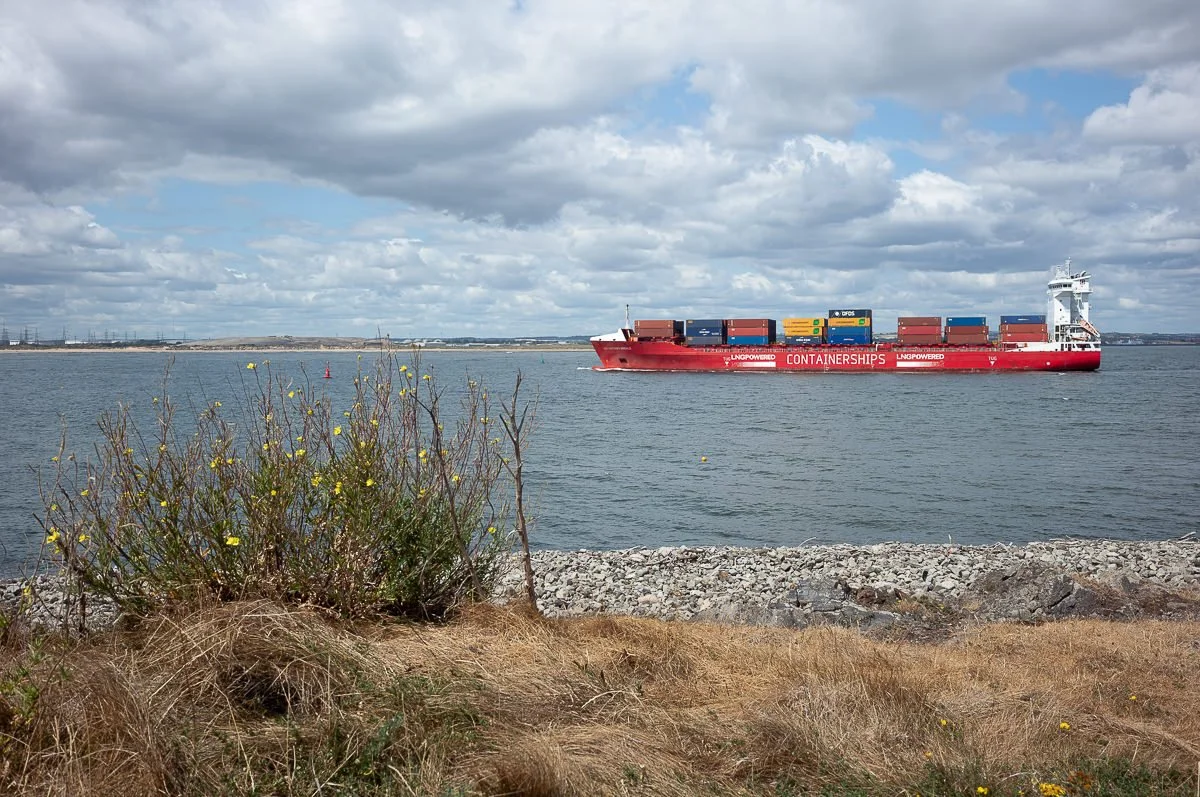
Growing up around Teeside, South Gare was somewhere that we used to visit a lot. Back then, it was home to the blast furnaces of the steel works. From the road out to South Gare, at the right time of the day, you could sometimes see them pouring the molten steel - it never ceased to amaze me as a kid

A couple of weeks ago, I had a day to work on my project. I’ve not had many lately as work has been busy & I’ve just not had as much time as I’d have liked to work on my own photographs. As I write this, I’m hoping to get out tomorrow, but already my list of things that I need to do before I go is growing. I might just ditch the ‘to do’ list. I need to see the sea again.

Scarborough is somewhere that’s special to me. I can’t visit the place without it bringing back memories of childhood holidays in a time before jumping on a plane and heading for the Med was really a thing. It’s easy for those memories to resurface because the touristy South Bay of Scarborough really hasn’t changed that much since the 1970’s/80’s.

For the next installment of my Yorkshire: Shifting Sands project, I wanted to move away a little from the erosion & environmental changes that the coastline is undergoing to start looking at some of the social changes.
Bridlington is the southernmost of Yorkshire’s ‘big’ seaside towns.

As recently as 15 years ago, the coast road between Ulrome & Skipsea was the main bus route between the two small seaside towns. Having a regular bus service meant that the local caravan park was a thriving summer destination for people to enjoy the miles of sandy beach.

It’s been a long time since I’ve been to Easington beach. I think I was probably 8 or 9 years old last time. lt has changed in that time. The beach as grown considerably wider. Much of East Yorkshire’s coastline is made of soft clay. The cliffs were never going to be able to withstand the constant battering from the North Sea. Over the years, they have worn away, gradually depositing the wartime defences that used to protect the coast, on the beach.

I have had some time to work on my Yorkshire Coast project though. Little bits, here and there. Grabbing an afternoon where possible and weather permitting, to go out and get a few photographs. I’m already several locations behind with the sharing side of things, but that’s ok, the direction is always more important than the speed.

December on Spurn Point is bitterly cold. It catches the wind coming off the North Sea in a way that no other part of the Yorkshire Coast that I’ve ever been to does.
When Tunstall ROC was built, it was 90-100m back from the cliff top, safe from erosion. But, with the Holderness section of the coastline disappearing at a rate of, on average, 2 metres a year, it’s days have been numbered for a while.